Gulf of Thailand
The Gulf of Thailand, also known as the Gulf of Siam, is a shallow inlet in the southwestern South China Sea, bounded between the southwestern shores of the Indochinese Peninsula and the northern half of the Malay Peninsula. It is around 800 km (500 mi) in length and up to 560 km (350 mi) in width, and has a surface area of 320,000 km2 (120,000 sq mi). The gulf is surrounded on the north, west and southwest by the coastlines of Thailand (hence the name), on the northeast by Cambodia and the Mekong Delta region of Vietnam, and opens to the South China Sea in the southeast.
The Gulf of Thailand is bordered by Cambodia, Thailand, Malaysia, and Vietnam. It occupies a seabed area of 304,000 km2 from 6° N to 13°30′ N latitude and 99°E to 104° E longitude.[9]: 250 The northern tip of the gulf is the Bay of Bangkok at the mouth of the Chao Phraya River. The southern boundary of the gulf is defined by a line from Cape Bai Bung in southern Vietnam (just south of the mouth of the Mekong River) to the city of Kota Bharu on the Malaysian coast.
The gulf is relatively shallow: its mean depth is 58 metres (190 ft) and the maximum depth is only 85 metres (279 ft).[9]: 250 This makes water exchange slow, and the strong water inflow from the rivers reduce the level of salinity in the gulf (3.05–3.25 percent) and enriches the sediments. Only at greater depths does water with a higher salinity (3.4 percent) flow into the gulf from the South China Sea. It fills the central depression below a depth of 50 metres (160 ft). The main rivers which empty into the gulf are the Chao Phraya, including its distributary Tha Chin River, the Mae Klong, and Bang Pakong rivers at the Bay of Bangkok, and to a lesser degree the Tapi River flowing into Bandon Bay in the southwest of the gulf.
The International Hydrographic Organization defines the southern limit of the gulf as ” line running from the Western extreme of Cambodia or Camau Point (8°36’N) to the Northern extreme of the point on the East side of the estuary of the Kelantan River (6°14′N 102°15′E)”.
Koh Tao (Ko Tao)
Ko Tao (also often Koh Tao; Thai: เกาะเต่า, pronounced [kɔ̀ʔ tàw], lit. ”Turtle Island”) is an island in Thailand and is part of the Chumphon Archipelago on the western shore of the Gulf of Thailand. It covers an area of about 21 km2 (8 sq mi). Administratively it is a subdistrict (tambon) of Ko Pha-ngan District (amphoe) of Surat Thani Province. As of 2006, its official population was 1,382.[citation needed] The main settlement is Ban Mae Haad.
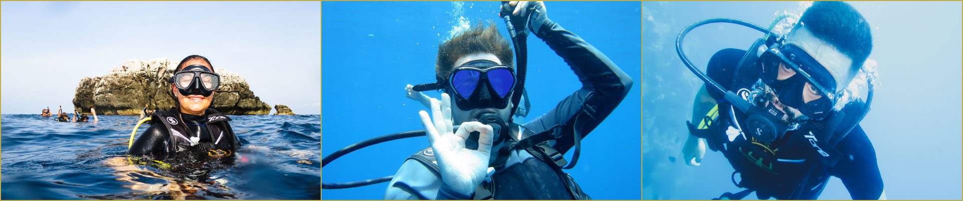
The economy of the island is almost exclusively centered on tourism, especially scuba diving. Scuba diving is extremely popular in Ko Tao due to clear visibility, inexpensive pricing and the range of sealife to be seen.